


Google Earth Pro recently became a free service and is widely been used as an excellent 'planning tool' for making basic measurements of distance and area based on aerial imagery.
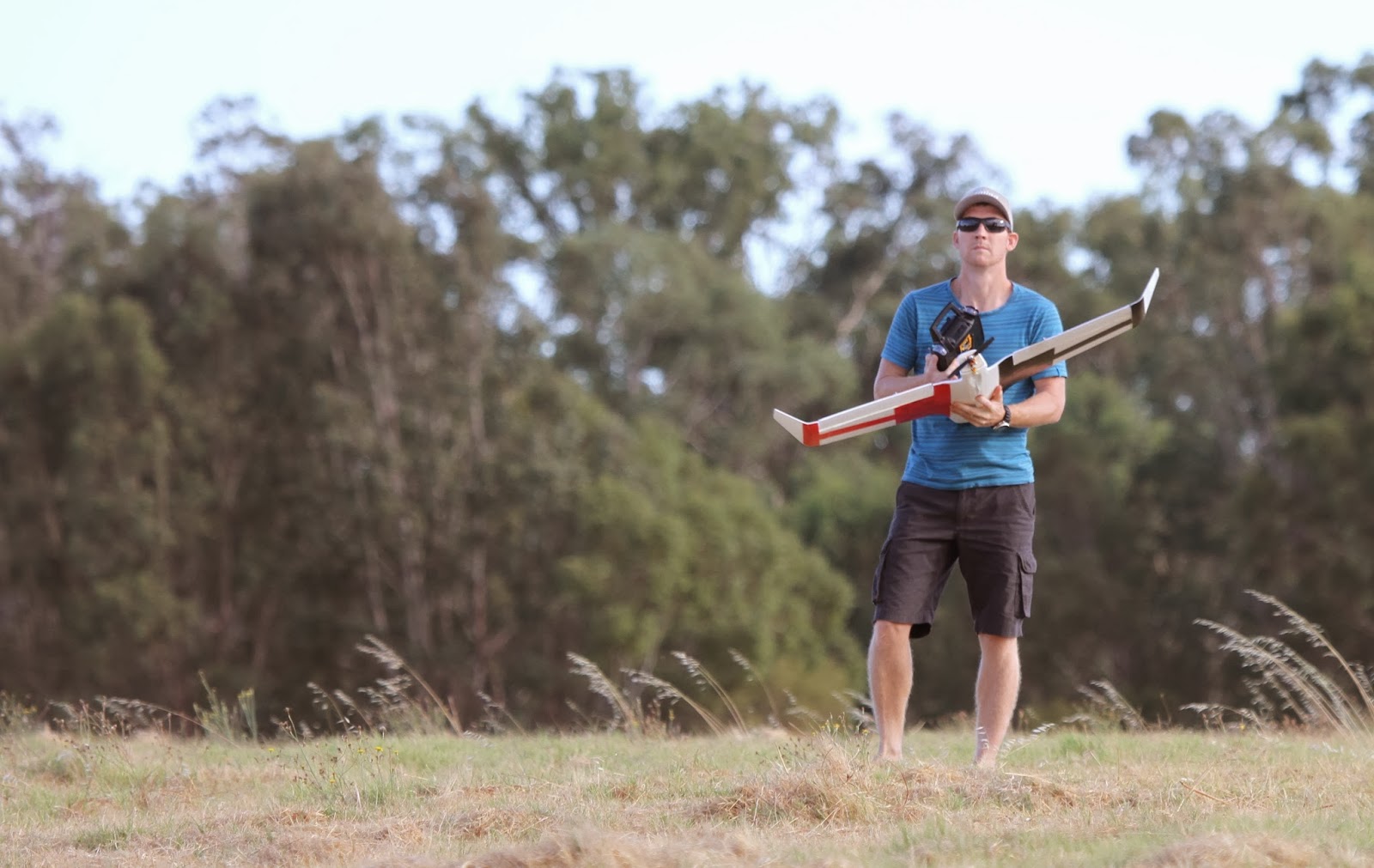
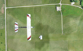
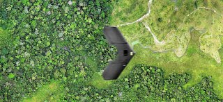
Find below examples of drone imagery I had taken of the shearing shed on the farm turned into a 2D map created with Drone Deploy from a survey I made using my Tali H500 hexacopter with Gitup Git2 action camera. I'll compare this imagery to Google Earth Pro at the same location.