

logo

This is a summary of services page with links to each of the specilised services pages
Agriculture
Agriculture
Our remote sensing solutions for agriculture capture your farm’s critical data, converting it into actionable information to support real-time business decisions. Our market leading technology delivers resolutions down to just centimeters per pixel across a range of sensor types, ensuring that you act on only the best possible information..
Environment
Environment
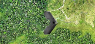
Get the information you need to inform your decision making. Aero Scout Australia operates both fixed-wing and multirotor aerial data platforms, enabling us to capture and deliver a range of actionable information for forestry and environmental applications..
Asset

Asset
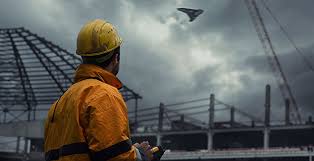
Aero Scout Australia enables businesses to perform high-quality visual of tall and hard to reach assets without the need for rope access or possibly shutting down your assets, providing you with extensive data sets for your analysis and records. As a result, you can inspect your assets more often, allowing you to focus your corrective and..
Architecture
Architecture
Our aerial data services can provide your project with high-accuracy digital surveys, 3D modelling and aerial progress photography (both vertical and oblique). Unlike traditional survey methods, Aero Scout Australia is able to map your entire site down to resolutions..
Wednesday 29 June 2016
News 4
Tuesday 28 June 2016

News 3

Dummy text ! Dummy text ! Dummy text ! Dummy text ! Dummy text ! Dummy text ! Dummy text ! Dummy text ! Dummy text ! Dummy text ! Dummy text ! Dummy text ! Dummy text ! Dummy text ! Dummy text ! Dummy text ! Dummy text ! Dummy text ! Dummy text ! Dummy text ! Dummy text ! Dummy text ! Dummy text ! Dummy text ! Dummy text ! Dummy text ! Dummy text ! Dummy text ! Dummy text ! Dummy text ! Dummy text ! Dummy text ! Dummy text ! Dummy text ! Dummy text ! Dummy text ! Dummy text ! Dummy text ! Dummy text ! Dummy text ! Dummy text !
News 1 - Asset Monitoring

In theory, with drone imagery and a service such as Drone Deploy, a one man team can be sent to the field to fly and survey the asset at low altitude. This not only yields a current/up-to-date map in high resolution it has the capability to deliver a 3D model as well.
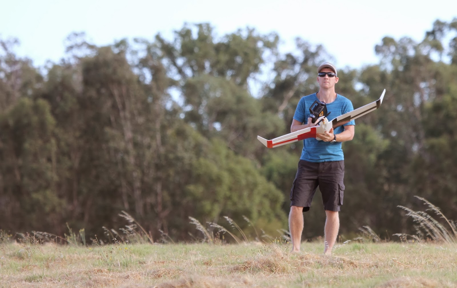
So I thought I'd put it to the test and headed out during a lunch break with my trusty Tali H500 hexacopterwith Gitup Git2 action camera to see how well a drone could produce imagery and then create both a 2D and 3D maps in Drone Deploy.
News 2 - Drone vs Google Earth

Google Earth Pro recently became a free service and is widely been used as an excellent 'planning tool' for making basic measurements of distance and area based on aerial imagery.
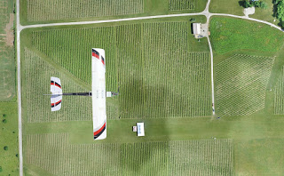
Find below examples of drone imagery I had taken of the shearing shed on the farm turned into a 2D map created with Drone Deploy from a survey I made using my Tali H500 hexacopter with Gitup Git2 action camera. I'll compare this imagery to Google Earth Pro at the same location.
Subscribe to:
Posts (Atom)


About
Safety & Certification
